NextGIS Mobile GPS Navigasyon ve Haritalar uygulama için Android açıklama
NextGIS Mobile allows to:
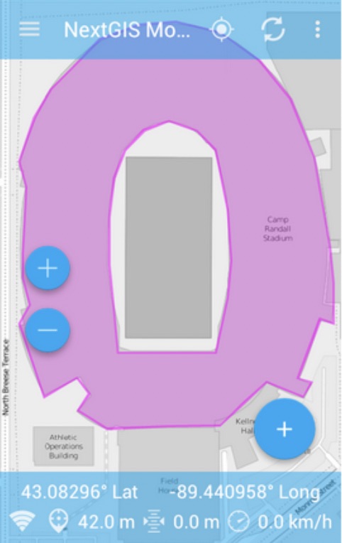
- show multi-layer map (layers can come from online and offline sources);
- change visibility and layers order;
- navigate the map (panning, zoom in, zoom out);
- collect data in the field;
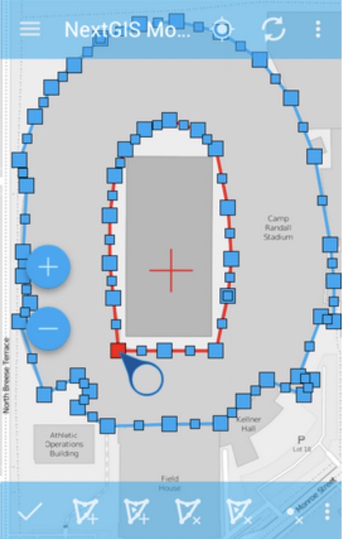
- edit vector data (both geometries and attributes) online and offline;
- record tracks;
- show coordinates, speed, elevation etc.